
Mapping & 3D Scanning
Scan. Model. Build better.
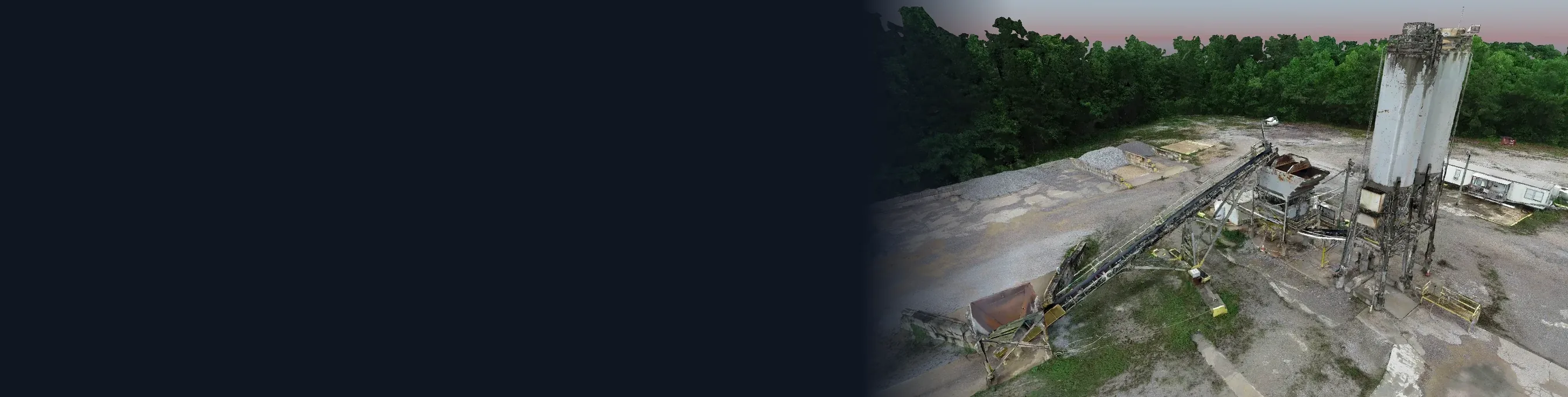
Existing conditions captured to the millimeter. Our FAA Part 107 certified pilots and scanner operators deliver aerial and terrestrial data that drops straight into design — so what we engineer fits the first time.
3D laser scanning
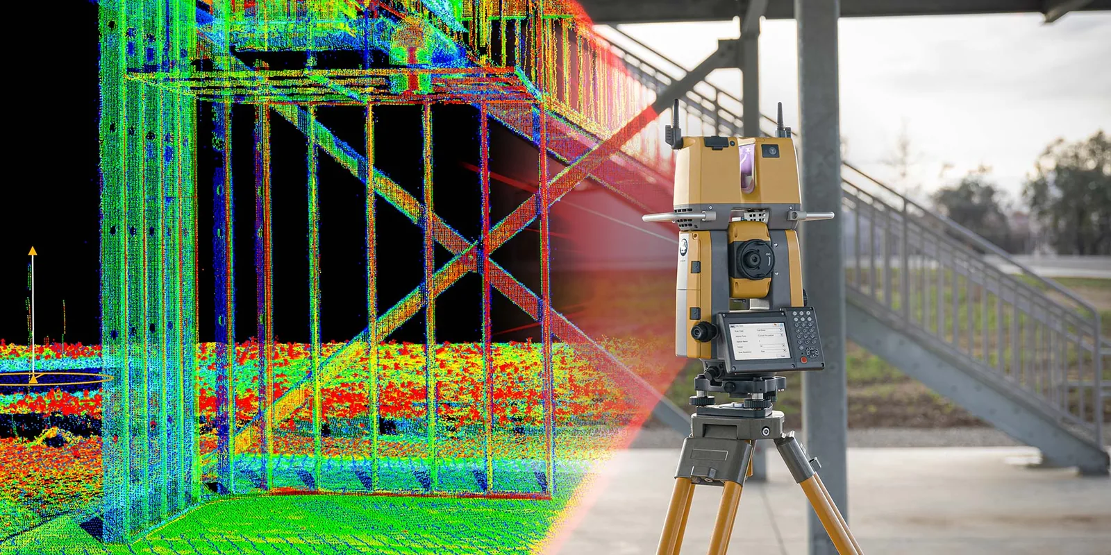
Millions of points. One source of truth.
Using ground-based laser scanners, we capture millions of precise data points to create 3D point clouds of existing conditions — accurate to ±7 mm at 10 m range, scanner-dependent.
Applications
- As-built verification
- Pre-fabrication planning
- Structural tie-in documentation
- Facility layout & MEP coordination
Deliverables
- Registered point clouds
- Floor plans, elevations & sections
- 3D Tekla models
- QA-checked PDF reports with deviation checks against construction drawings
Drone & aerial mapping
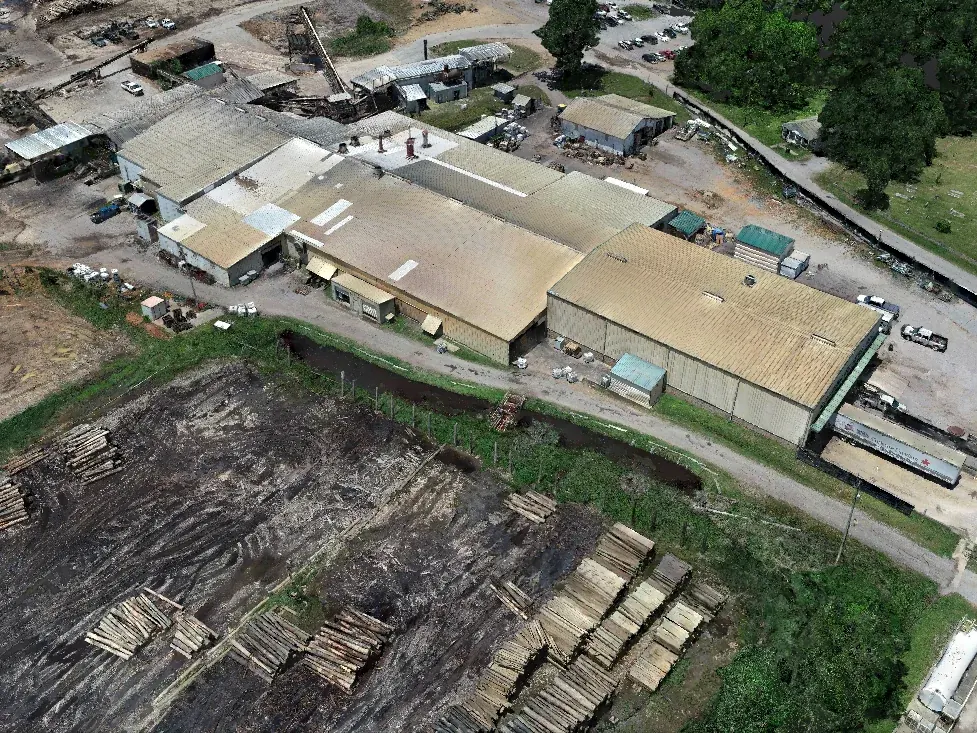
The whole site, from above
Using drone-based photogrammetry, we produce accurate site maps, orthomosaics and terrain models — safer, faster and more comprehensively than traditional methods.
Applications
- Pre-construction planning
- Topographic studies
- Earthwork calculations & site balancing
- Progress tracking for stakeholders
- Permitting documentation
Deliverables
- High-resolution orthomosaic imagery
- Topographic contours
- 3D model / mesh
- Overlays for Google Earth
Photogrammetry-derived mesh accuracy varies with altitude, surface geometry and ground control setup. Not LiDAR-based.
From the field to the model
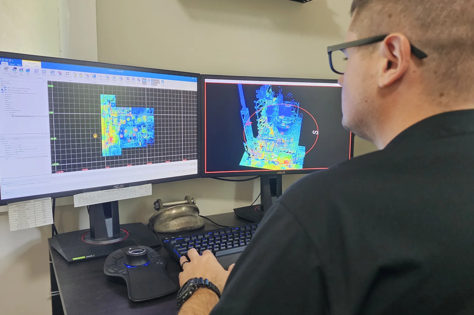
Captured on site, processed in-house
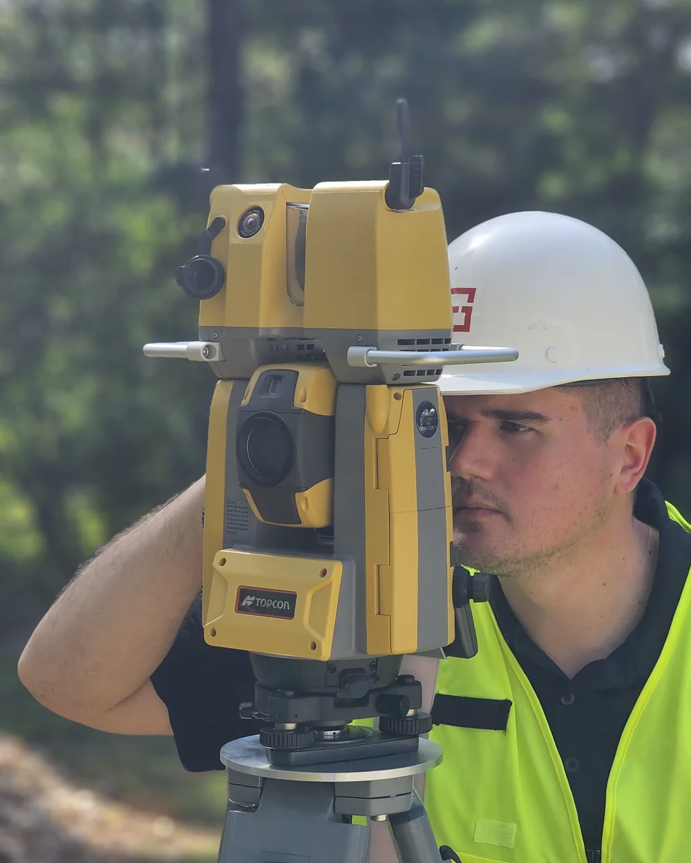
Our own crews run the total station and scanner, then register and model the data at our office — no hand-off, no waiting on a third party.
What you get
Data your design team can trust
Certified FAA Part 107 pilots
Every flight is planned and flown by a licensed remote pilot, with airspace authorizations handled for you.
Ground control point calibration
Surveyed control points tie the capture to real-world coordinates for survey-grade accuracy.
Scans accurate to ±7 mm
±7 mm at 10 m range, ±10–15 mm over larger areas; drone mapping ±1–3 cm horizontal. We publish accuracy with every deliverable.
CAD-ready file formats
RCS, E57, LAS, DWG, DXF, NWD, Tekla and more — tailored to your project and your software.
Works in your environment
Deliverables integrate with your existing Tekla, Revit or AutoCAD workflows — and with ours, if we are doing the design.
48-hour turnaround
Processed data back to you within 48 hours on standard packages, depending on project complexity.
Fixed-price packages
Precision, transparency and speed
Every package includes setup and breakdown, travel within a 25-mile radius of our office, and delivery of processed data. Each can be tailored to your scope.
Base Scanner
$1,899
- 6 scans, 2 technicians
- Registration of data collected
- 3D viewer included
Scan to BIM
$2,599
- Includes Base Scanner package
- 10 hours of BIM modeling
- 3D model export
Total Station · 5 hr
$2,499
- On site up to 5 hours
- Data processing
- CAD file export
Total Station · 10 hr
$4,299
- On site up to 10 hours
- Data processing
- CAD file export
Aerial Picture Package
$599
- 15 minutes of flight time
- FAA certified pilot
- Unlimited number of pictures
Orthomosaic & 3D Map
$1,099
- 30 minutes of flight time
- High-resolution imagery
- FAA certified pilots
- 3D map viewer
Custom packages. Need additional scans, longer flight time or specialized modeling? Every package can be modified to fit your project.
Raw point cloud data is available for purchase and can be delivered in multiple standard formats on request.
Extended travel beyond 25 miles is available and quoted on request. 48-hour turnaround depends on project complexity.
Related services
Everything else we bring to a project
Let’s add this to your next project
We can scan your site before steel detailing, fly aerial surveys for permitting, or verify field conditions before install. Call or email for a free consultation or estimate.